Huai River
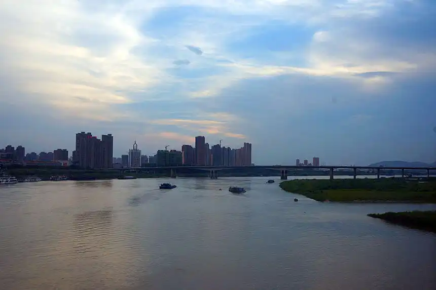
The Huai River, about 1,110 kilometers long, rises in Henan and flows east across the plain between the Yellow River and the Yangzi before joining the latter's delta waters. Together with the Qinling mountains to its west it forms the Qinling-Huaihe Line, the traditional geographical boundary between northern and southern China. Under the Tang, its valley carried the Grand Canal — the artificial river on which the capital's survival depended.
China’s Natural Dividing Line
The Qinling-Huaihe Line is Chinese geography’s most famous convention: north of it, winters are cold enough for central heating and wheat is the staple crop; south of it, winters are mild and rice rules. The line approximates the January 0°C isotherm and the 800-millimeter rainfall contour, and it has marked climatic, agricultural and even dialect boundaries for two thousand years. The Huai is the lowland half of that boundary — a shallow, slow, flood-prone river whose plain has been, alternately and sometimes simultaneously, the empire’s granary and its disaster zone.
Historically the Huai discharged independently into the Yellow Sea. The river’s modern misfortune began with the Yellow River: after its catastrophic course change in 1194, the Yellow River hijacked the Huai’s lower channel, and for seven centuries silt and flood turned the Huai basin into one of the most flood-ravaged regions on earth. Only in the twentieth century did engineered outlets restore the river to something like an orderly existence. It remains notoriously vulnerable: the “furrowed brow” of Chinese hydraulic engineering.
The Huai and the Grand Canal
For the Tang dynasty, the Huai valley was not a boundary but a bridge. The Grand Canal, the Sui dynasty’s supreme engineering work, crossed the Huai plain on its way from the Yangzi delta to the Yellow River and the capitals beyond; the junction towns along the Huai — Yangzhou at the canal’s southern end, the relay stations and granary towns of the plain — became some of the busiest ports in the world. The annual grain fleet, tens of thousands of barges carrying the rice and tax wealth of the south to feed Chang’an and Luoyang, crossed the Huai at the Shanyang embankment, a causeway that split the river into canal and river and taxed the patience of generations of hydraulic officials. When the canal ran, the empire ran; when the Huai flooded and the canal silted, the capital went hungry, and the histories of the mid-Tang are punctuated by exactly such crises.
Strategic Water
The Huai plain was also a military geography. Lying between the two great river systems, it formed the natural corridor along which armies moved between north and south — the route by which the Sui and Tang themselves had campaigned toward the Yangzi, and by which every northern dynasty contemplated the conquest of the south. Its walled towns changed hands in every age of division; its dikes were fortified, breached and refortified. Whoever held the Huai crossings held the hinge of China.
In Culture
The river’s literary fame is quieter than the Yellow River’s or the Yangzi’s, but real: it is the water of the northern Jiangsu-Anhui plain, of the osmanthus and the salt flats, and its name recurs in Tang travel verse as the signpost where the traveler crosses from the north into the south proper. To cross the Huai in Tang times was to feel the climate change, the wheat give way to rice paddies, and the accents soften — a transition generations of poets marked in passing, and readers have felt ever since.